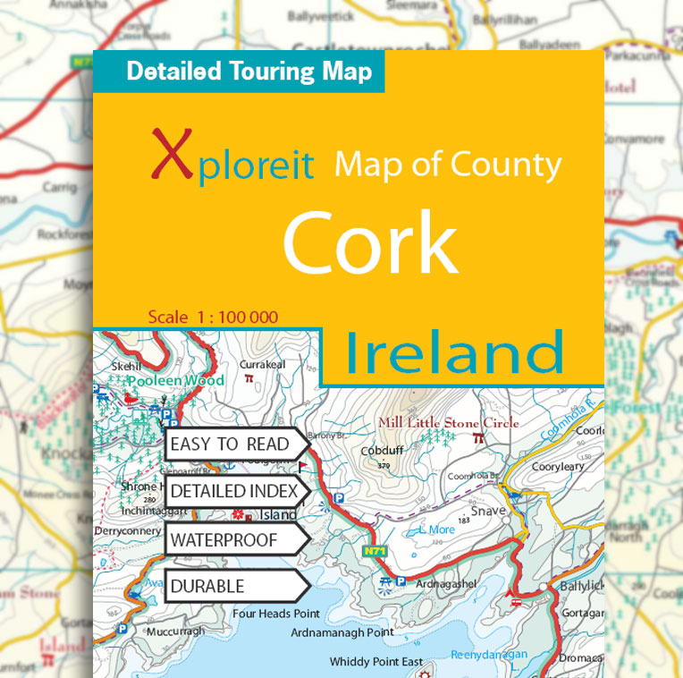
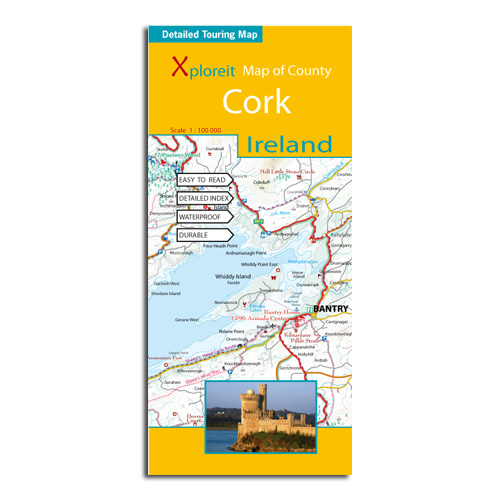
Xploreit Map of County Cork, Ireland 2nd Edition (2012, Waterproof)
€18.99 (€16.73 ex VAT)
The Xploreit Map of County Cork includes all of Cork along with parts of counties Kerry, Limerick, Tipperary and Waterford.
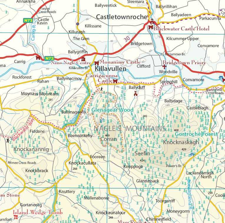
Cork's rich heritage of megalithic monuments, medieval churches and castles can instantly be identified. Noted sites such as Blarney Castle, St. Finbarr's Oratory at Gougane Barra and McCarthy's Bar in Castletownbere are featured in red text. Whether you want to explore Youghal's town walls in the east, savour the views from the footbridge at Mizen Head in the south-west or or imagine times past as you stroll around Mitchelstown's King's Square and Kingston College in the north it's easy to find your chosen destination.
Showing a large array of golf courses, angling spots, sandy beaches for swimming and surfing, equestrian facilities, boating facilities, this map is an indispensable tool for visitors. Several scenic drives, cycle routes and waymarked walks are shown.
The scale of the Cork map is 1:100,000.
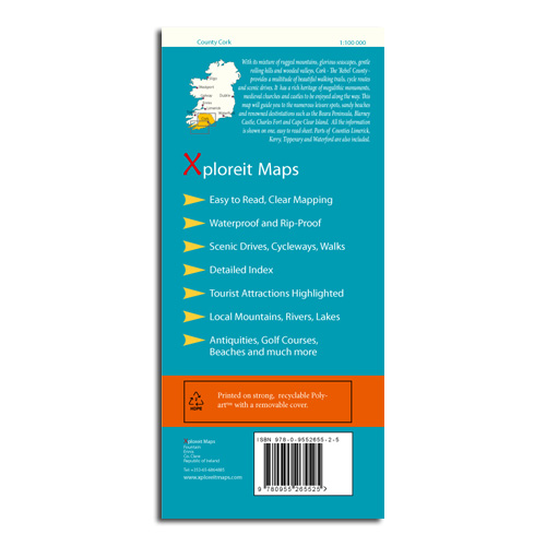
Key Points
- Easy to read, clear mapping
- Waterproof & Rip-proof
- Printed on strong recyclable Polyart with removable cover
- Scenic drives, cycleways, walks
- Detailed index
- Tourist attractions highlighted
- Local mountains, rivers, lakes
- Antiquities, golf courses, beaches and much more
- Scale 1 : 100,000
Walking
All the National Waymarked routes and an extensive selection of looped walks in Cork are shown. Some are listed below:
- The Blackwater Way
- The Ballyhoura Way
- The Beara Way
- The Sheep’s Head Way
- The Seven Heads Walk
- Doctors Hill Loop
- Mullaghareirk Loop
- The Seven Heads Walk
Cycling
All the main cycling routes are shown:
- The Gougane Barra Cycle Route
- The Blackwater Cycle Route
- The Duhallow Cycle Route
- The Beara Cycle Route
- The Sheep’s Head Cycle Route
- The Youghal Cycle Route


