Map of County Galway
€18.99 (€16.73 ex VAT)
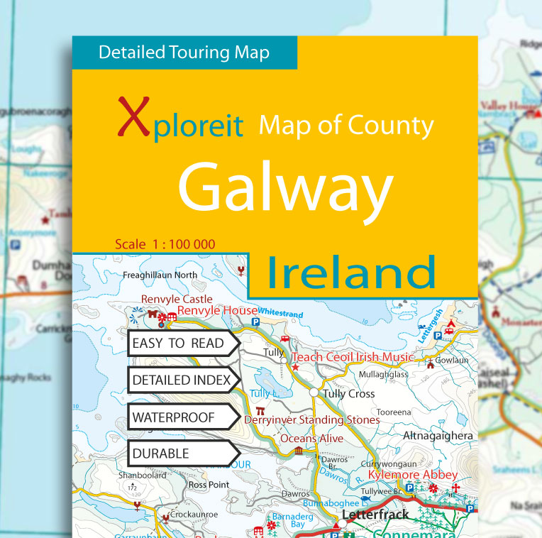
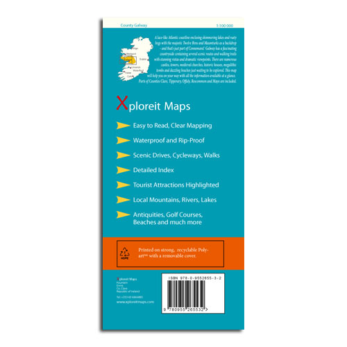
The Xploreit Map of County Galway includes all of County Galway along with parts of counties Clare, Tipperary, Offaly, Roscommon and Mayo. A lace-like Atlantic coastline enclosing shimmering lakes and rusty bogs with the majestic Twelve Bens and Maumturks is shown - and that’s just part of Connemara!
Galway has a fascinating countryside containing several scenic routes and walking trails with stunning vistas and dramatic viewpoints. There are numerous castles, towers, medieval churches, historic houses, megalithic tombs and dazzling beaches just waiting to be explored. This map will help you on your way with all the information available at a glance. The scale of the Galway map is 1:100,000.
Although Galway does not have any signposted long distance cycle routes, all the scenic drives are shown which allows the cyclist to choose from a number of options when planning a suitable route.
Key Points
- Easy to read, clear mapping
- Waterproof & Rip-proof
- Printed on strong recyclable Polyart with removable cover
- Scenic drives, cycleways, walks
- Detailed index
- Tourist attractions highlighted
- Local mountains, rivers, lakes
- Antiquities, golf courses, beaches and much more
- Scale 1 : 100,000
Walking
All the National Waymarked routes and an extensive selection of looped walks in Galway are shown. Some are listed below:
- The Aran Way
- The Hymany Way
- The Western Way
- The Burren Way
- The Suck Valley Way (partly shown)
- New Village Forest Loop
- Killary Fjord Famine Road Walk
- Diamond Hill Loop Connemara
- Ballykine Woods Loop near Cong
Cycling
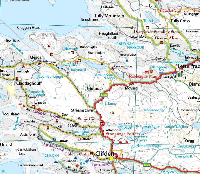
Cycling Loops and trails located near ‘Cycle Hub’ towns such as Clifden and Doolin are shown:
- The Cleggan Cycle Loop
- The Roundstone Bog Road Loop
- The Errislannan Cycle Loop
- The Sheeffry Cycle Route
- The Derroura Mountain Bike Trail
- The Portumna Forest Mountain Bike Trail
- The Burren Cycleway
- The Slieve Elva Loop
- The Dolmen Cycleway
- The Lough Derg Cycleway (partly shown)


