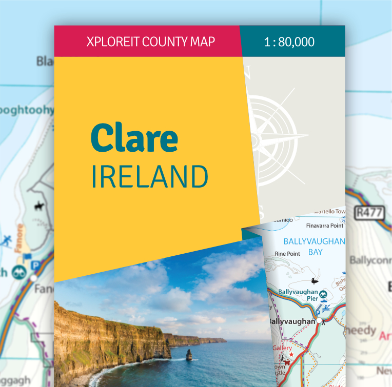
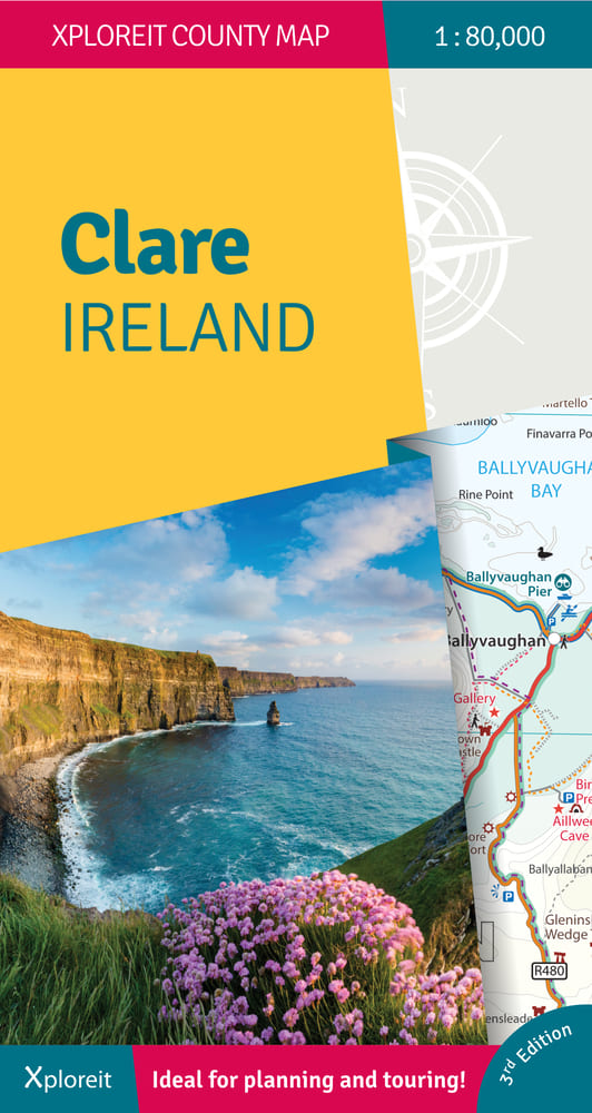
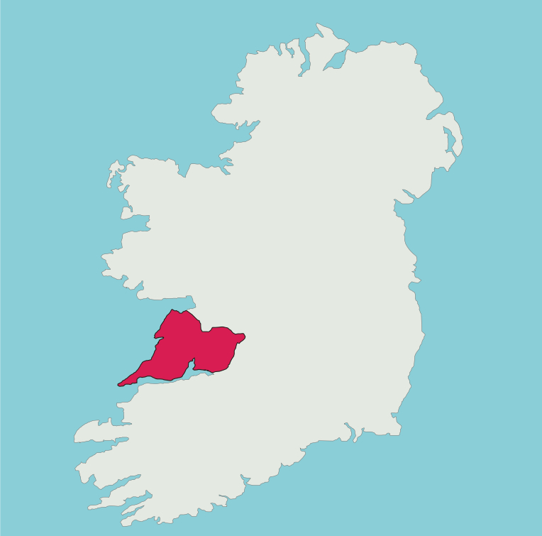
Xploreit County Map of Clare 3rd Edition (2024)
An new edition of the Xploreit Map of County Clare, Ireland
€14.99 (€13.21 ex VAT)
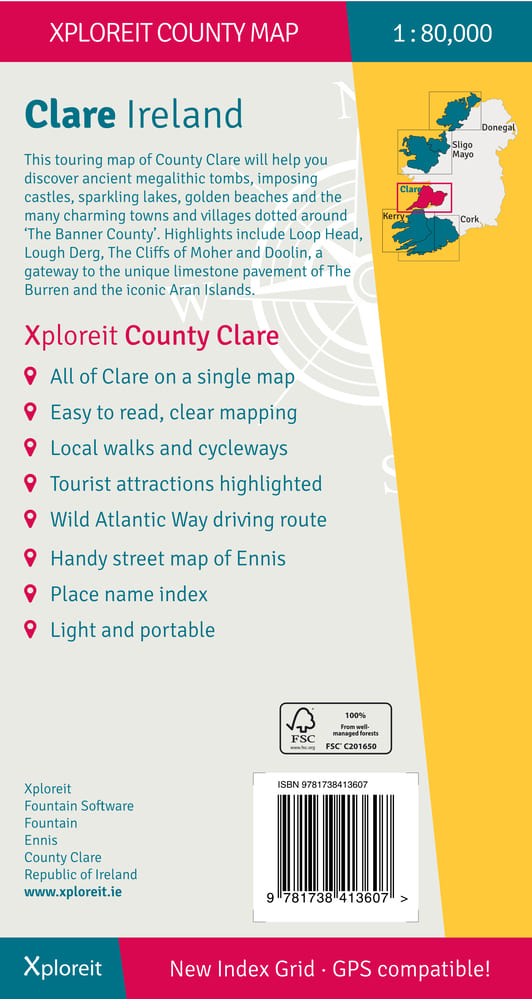
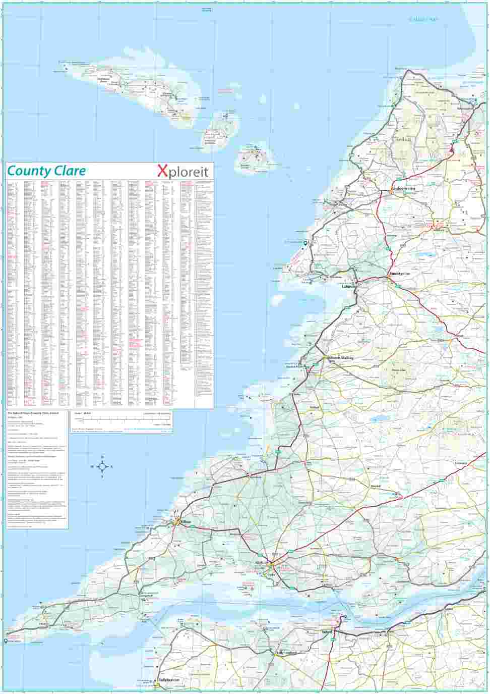
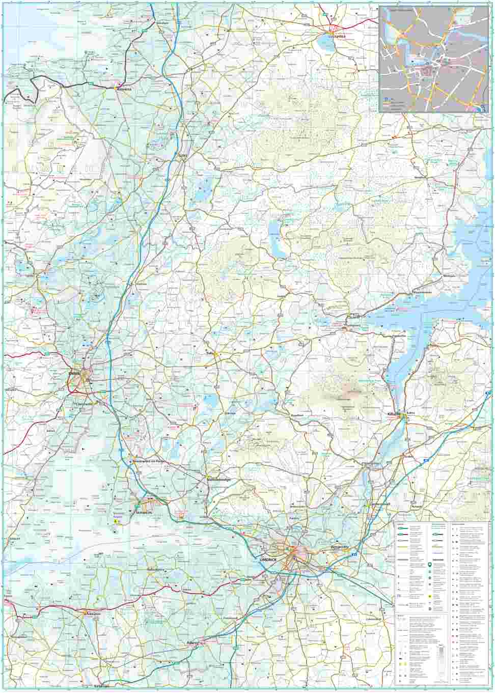
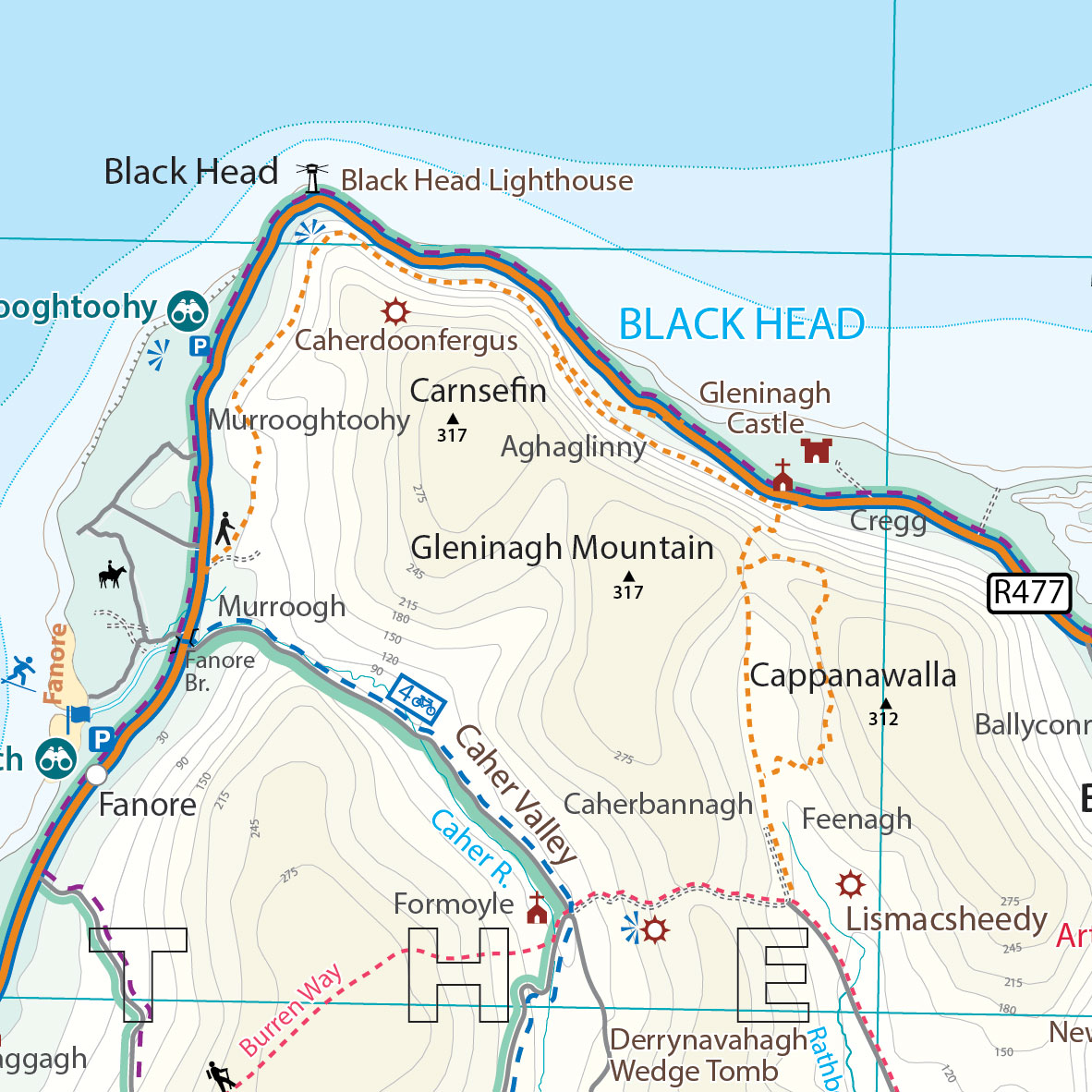
This Xploreit map is an essential companion for your next trip to County Clare. Whatever your location in the county, a quick scan of the map will reveal all the local attractions including the best drives, cycle routes and walks in the area. It is fully revised and now includes the Clare section of the long-distance Euro Velo Atlantic Cycle Route. From Loop Head, with its famous lighthouse, you can follow West Clare’s wild and rugged coast as it rises to the spectacular Cliffs of Moher and meets The Burren, the unique limestone pavement of the northern uplands. East Clare has numerous walking and sightseeing opportunities also with Lough Derg and Slieve Bernagh as highlights. Convenient and informative, this touring map will help you discover ancient megalithic tombs, imposing castles, sparkling lakes, golden beaches and the many charming towns and villages dotted around ‘The Banner County’. Topography is shown by altitude colouring with contours at 30m and numerous geographical features are illustrated. The road network includes local roads and tracks with scenic roads highlighted including the Clare section of the Wild Atlantic Way and Discovery Points.
The map is double-sided for easy reading and folding. It is light and fits conveniently in a glovebox or rucksack. A wide range of symbols indicate various places of interest: antiquities, leisure facilities, museums and heritage sites, tourist information centres, campsites and caravan parks, etc. Place names are indexed and latitude and longitude lines are shown in decimal degrees at intervals of 0.01 and 0.1 respectively making it easy to estimate coordinates for GPS devices.
Key Points
- All of County Clare on one touring map
- Easy to read, clear mapping
- Local drives, cycle routes and walks
- Large range of tourist attractions highlighted
- Place name index
- Handy street map of Ennis
- Lightweight, easy to fold and carry
Specs
- Format: Folded Sheet Map, Paper
- Scale: 1:80,000
- Publication Date: 18th June 2024
- ISBN: 978-1-7384136-0-7
- Category: Travel Guides, Maps & Atlases
- Dimensions – Open Size: 70.7 x 100 cm, Folded Size: 13.1 x 24.6 cm
- Weight: 101g
- Price: €16.99 incl. VAT (13.5%)